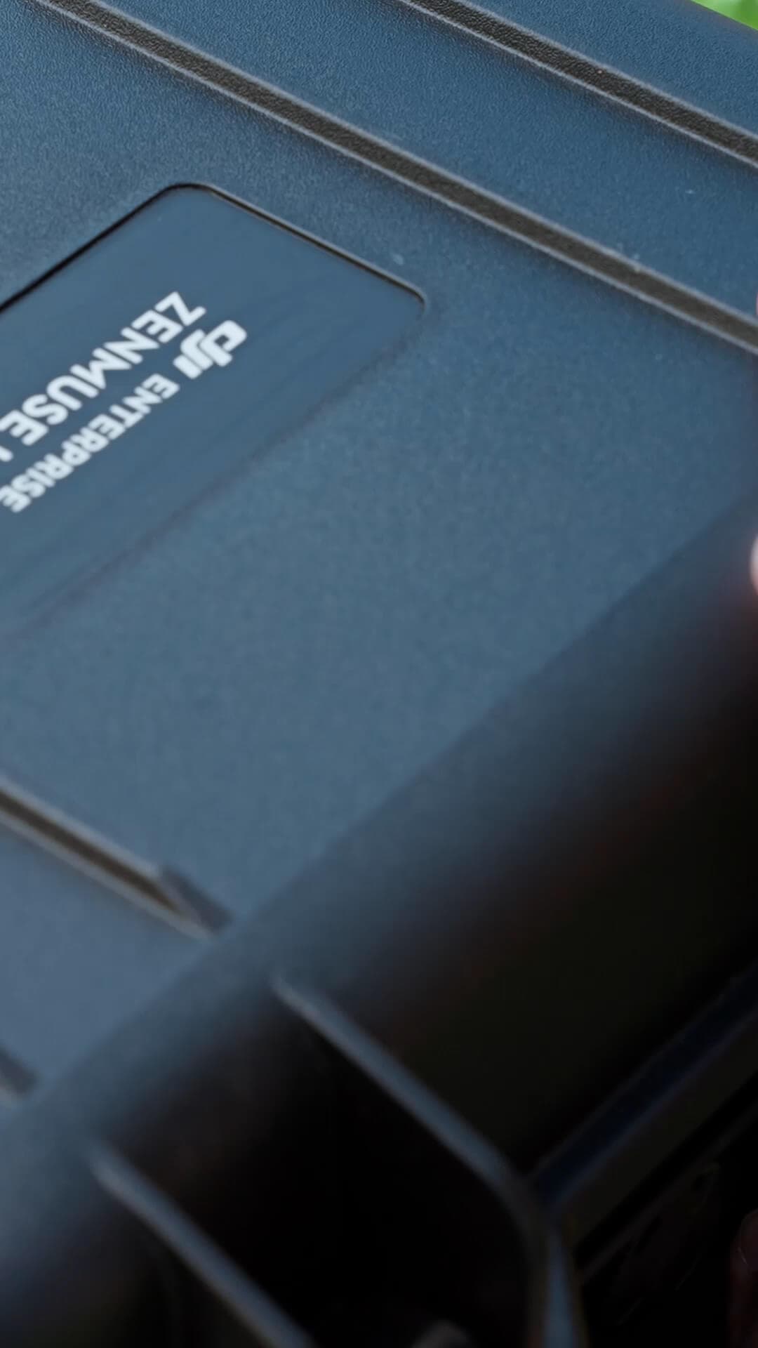
Surveying and mapping
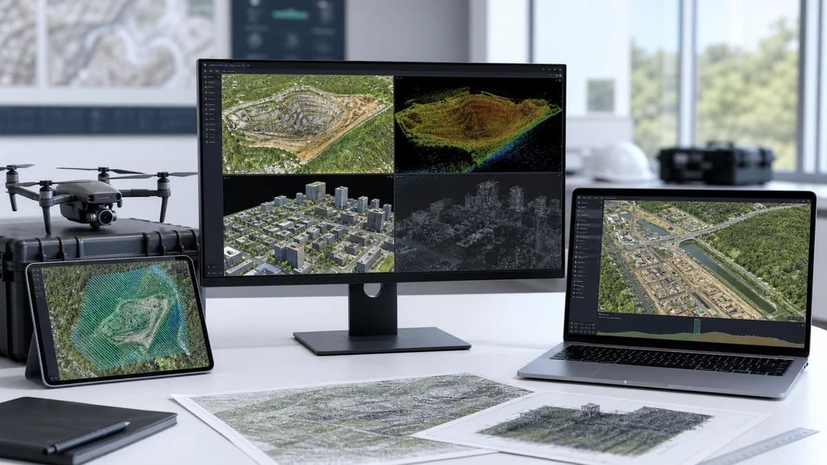
Point cloud and RGB colour from one payload, with DJI Terra for processing the acquired data.

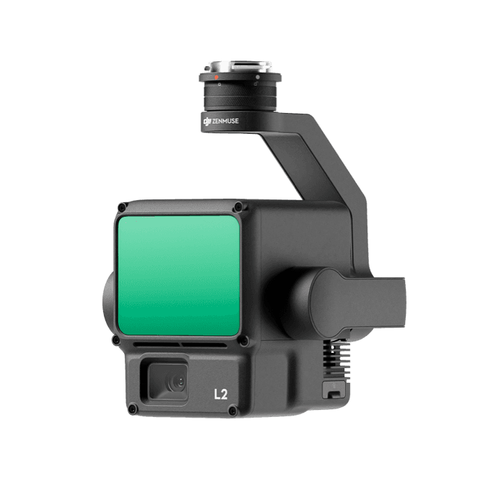
An integrated survey payload that combines frame-based LiDAR, a high-accuracy IMU and a 4/3 CMOS RGB mapping camera.
Compatible with Matrice 400, 350 RTK, 300 RTK
Discover the frame-based LiDAR, high-accuracy IMU and RGB mapping camera for geospatial data capture.
Choose your setup
Aerial LiDAR system combining frame LiDAR, a high-accuracy IMU and a 4/3 CMOS RGB mapping camera.
Starting priceFrom $9,600.00Reference price
 Zenmuse L2 Worry-Free Basic Combo (PPK)L2 with Worry-Free Basic coverage.Zenmuse L2 Worry-Free Plus Combo (PPK)L2 with Worry-Free Plus coverage.
Matrice 400, Matrice 350 RTK or Matrice 300 RTK; the M300 RTK requires DJI RC Plus and confirmed firmware
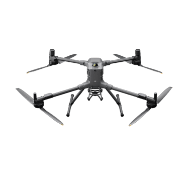
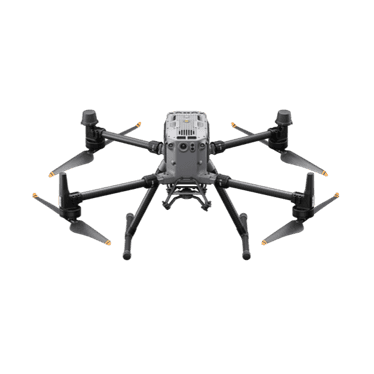
Aircraft shown for context. Aircraft sold separately.
Compare models
Compare the capabilities that matter to your workflow.
| Feature | Zenmuse L2 | Zenmuse L3 |
|---|---|---|
| Detection range | 250 m at 10% reflectivity (100 klx); 450 m at 50% (0 klx) | 950 m at 10% reflectivity (100 kHz); 700 m at 350 kHz |
| RGB mapping camera | 4/3 CMOS, 20 MP | 4/3 CMOS, up to 100 MP photos |
| Weight | 905 +/- 5 g | 1.60 kg plus 145 g connector |
| Aircraft | Matrice 400, Matrice 350 RTK, Matrice 300 RTK (RC Plus) | Matrice 400 with L3 single gimbal connector |
Figures from the published L2 and L3 specifications, each measured under stated conditions.
Included items
The package list follows the selected option.
Zenmuse L2 Worry-Free Basic Combo (PPK)


The package contains the payload, a 128 GB microSD card, lens cap, storage case and lens cleaning cloth. Basic and Plus share the same five items; the difference is service coverage, not hardware. No aircraft, controller, battery or RTK station is included, and DJI Terra processing software is separate. MIRS confirms the exact SKU before order.
Manufacturer reference options
These manufacturer references help identify a package or licence. Your current MIRS product offer and checkout choices remain unchanged.
5 physical item types in this reference package.
Package availability, compatibility and regional fulfilment are confirmed in your quotation.
Point cloud and RGB colour from one payload, with DJI Terra for processing the acquired data.
Up to five returns capture multiple surfaces from a single laser pulse.
Repetitive and non-repetitive scanning modes suit both flat-area and structure-focused flights.
Confirm compatibility, availability and regional requirements with our team before ordering.
LiDAR point clouds and RGB imagery from one integrated payload, with up to five returns and a 4/3 CMOS camera.
Matrice 400, Matrice 350 RTK and Matrice 300 RTK are supported (the M300 requires DJI RC Plus).
No. The 5 cm horizontal and 4 cm vertical figures were measured at 150 m in lab conditions using an RTK fix. Flight design, GNSS quality, calibration and processing all change the result.
L3 uses a 1,535 nm LiDAR with 950 m detection at 10% reflectivity and RGB photos up to 100 MP, and is supported on Matrice 400 only. L2 is lighter at 905 g and also supports Matrice 350 RTK.
Select the option, confirm the reference package and set the quantity.
Choose setupBrowse this category
More products from this catalogue category. Confirm fit with MIRS.
 DJI payload
DJI Enterprise
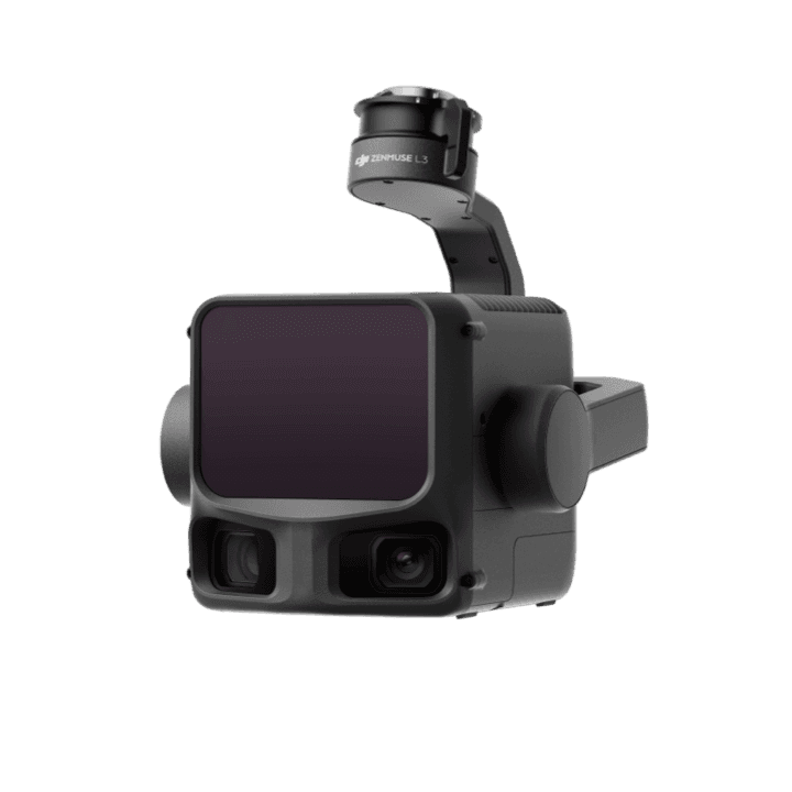
Check availabilityHigh-accuracy aerial LiDAR with a 1,535 nm laser, dual 100 MP RGB cameras and a precision positioning and orientation system.
 DJI payload
DJI Enterprise
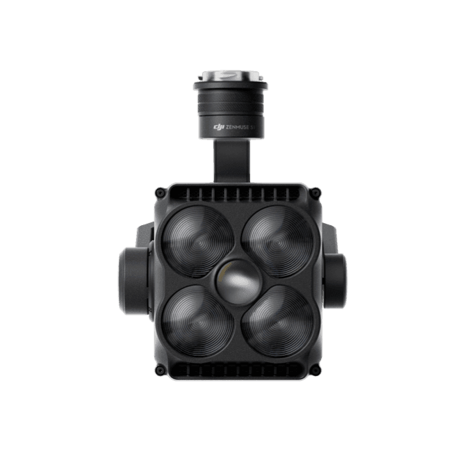
Check availabilityLEP spotlight payload for compatible DJI multi-payload aircraft, offering focused illumination and multiple lighting modes.
 DJI payload
DJI Enterprise
Check availabilityDrone-mounted speaker for supported multi-payload platforms, with long-range audio and multiple broadcast modes.