Surveying and mapping
Produce orthophotos, DSMs and point clouds from RTK-enabled survey flights.

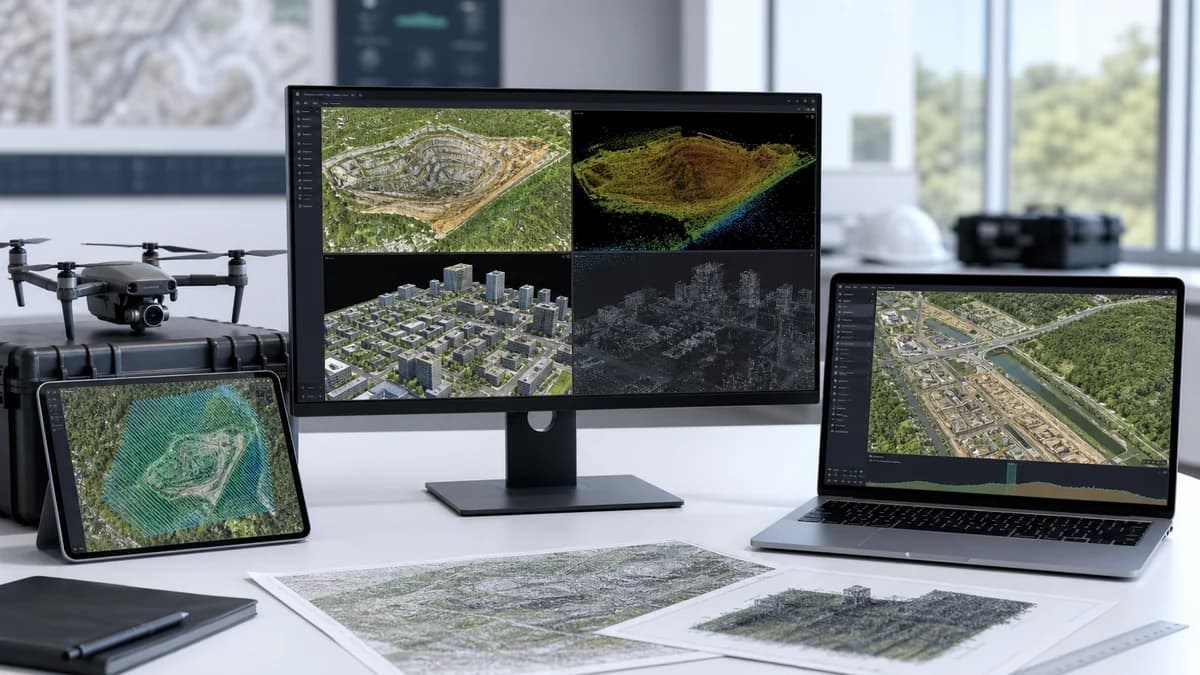
Mapping and 3D reconstruction software for DJI survey data, producing 3D models, point clouds, orthophotos and surface models from visible-light imagery and LiDAR, with Gaussian Splatting in the current release.
Compatibility DJI survey and LiDAR data on a Windows 10+ NVIDIA workstation
See how Terra turns survey imagery into 3D models, orthophotos and measurable maps.
Choose your licence
Process supported visible-light and LiDAR data into mapping and 3D reconstruction outputs with DJI Terra.
Starting pricePrice on requestConfiguration and availability confirmed by MIRS
 Standard — 1 yearStandard edition on a one-year term.Standard — perpetualStandard edition on a perpetual term.Flagship — 1 yearFlagship edition on a one-year term.Flagship — perpetualFlagship edition on a perpetual term.
Manufacturer reference options
These manufacturer references help identify a package or licence. Your current MIRS product offer and checkout choices remain unchanged.
DJI Terra — Agriculture · 6 months · 3 devices
Licence scope, term and regional eligibility are confirmed in your quotation.
Produce orthophotos, DSMs and point clouds from RTK-enabled survey flights.
Reconstruct roads, bridges, power and oil and gas sites into measurable 3D models.
Create realistic models of buildings and scenes for review, gaming or film workflows.
DJI visible-light and LiDAR survey data on a 64-bit Windows 10+ workstation with an NVIDIA GPU. Edition capabilities and licence terms are confirmed by MIRS before order.
Confirm compatibility, availability and regional requirements with our team before ordering.
Standard and Flagship differ in capabilities and licence terms. MIRS matches the edition and 1-year or perpetual term to your data and workflow before order.
The current release needs a 64-bit Windows 10 or later PC with 32 GB of RAM and an NVIDIA GPU with at least 4 GB. Larger projects need more.
It is built for DJI survey imagery and DJI LiDAR data. Other sources need to be checked against the workflow first.
Visible-light models reconstructed in Terra V4.0.0 or later can be handed to DJI Modify for editing.
Select the option, confirm the details and set the quantity.
Choose licenceBrowse this category
More products from this catalogue category. Confirm fit with MIRS.
 DJI software
DJI Enterprise
Check availabilityManage supported DJI drone operations, remote missions and operational data in DJI's public-cloud platform.
 DJI software
DJI Enterprise
Check availabilityDeploy FlightHub 2 capabilities in a local environment for organisations that need controlled infrastructure and data workflows.
 DJI software
DJI Enterprise
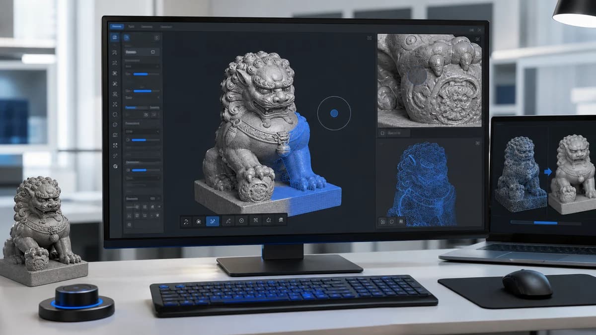
Check availabilityEdit and refine visible-light 3D models reconstructed in DJI Terra for a controlled delivery workflow.