
Shop by application
Start with the mission.
Choose an operational outcome to see relevant aircraft, payloads, software, accessories, and configured systems.
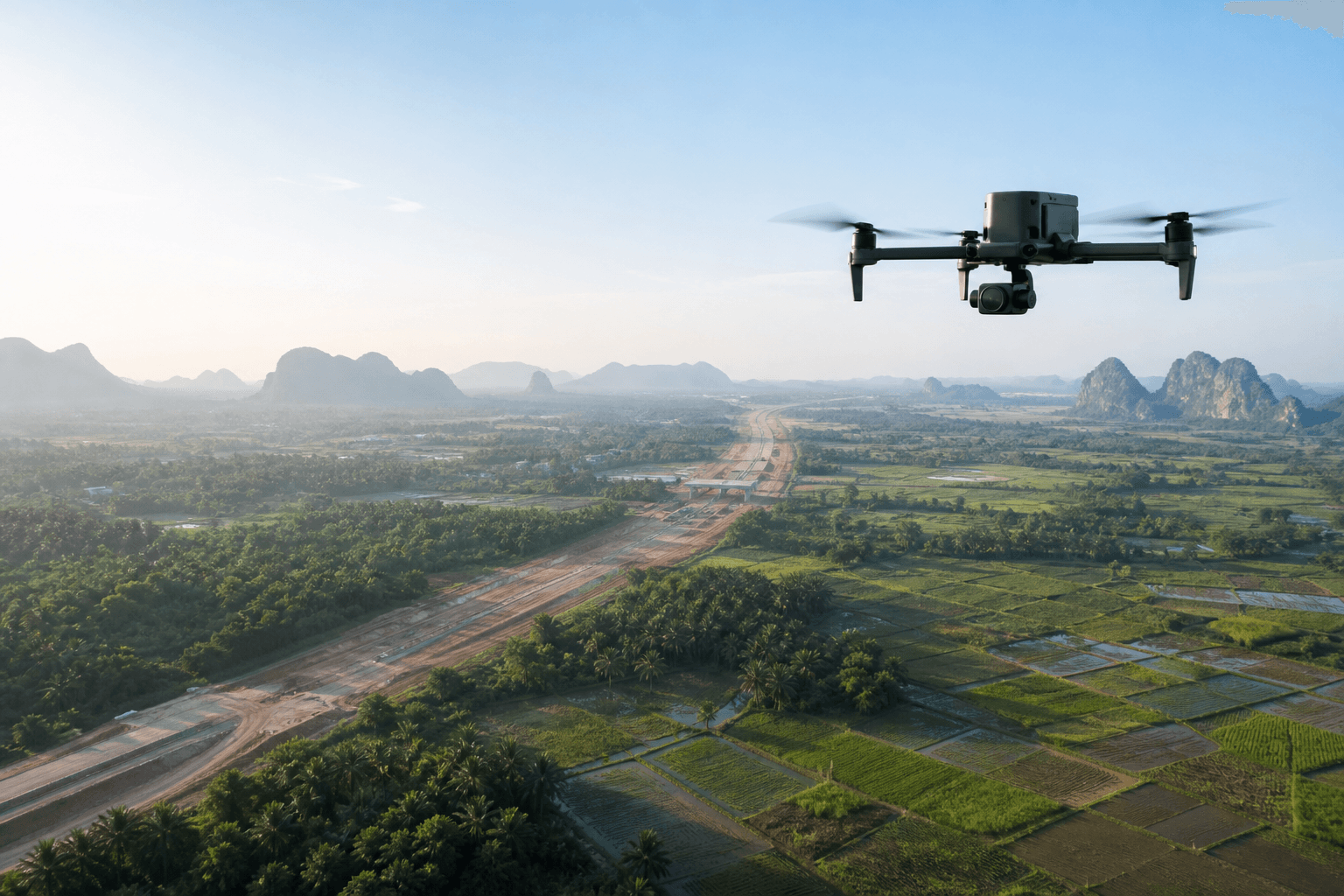
Surveying and Mapping
Connect RTK aircraft, LiDAR and photogrammetry payloads, positioning tools, and processing software into one geospatial workflow.
28 relevant products →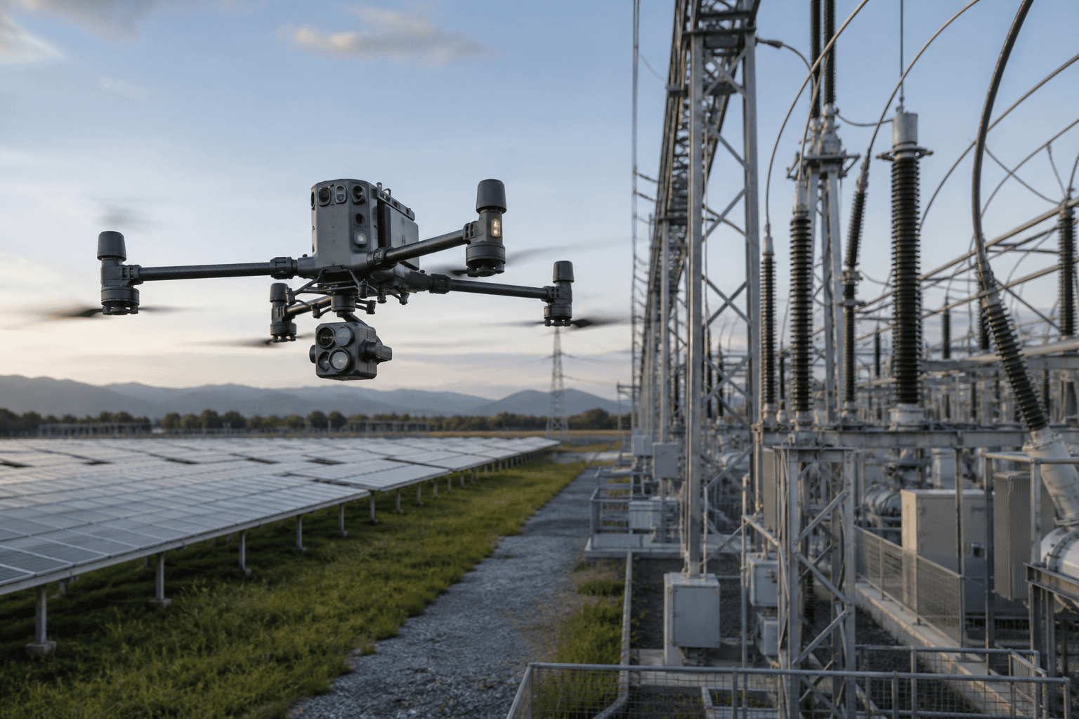
Asset Inspection
Combine zoom, thermal, night-operation, and repeatable-flight tools for safer remote inspection of critical assets.
24 relevant products →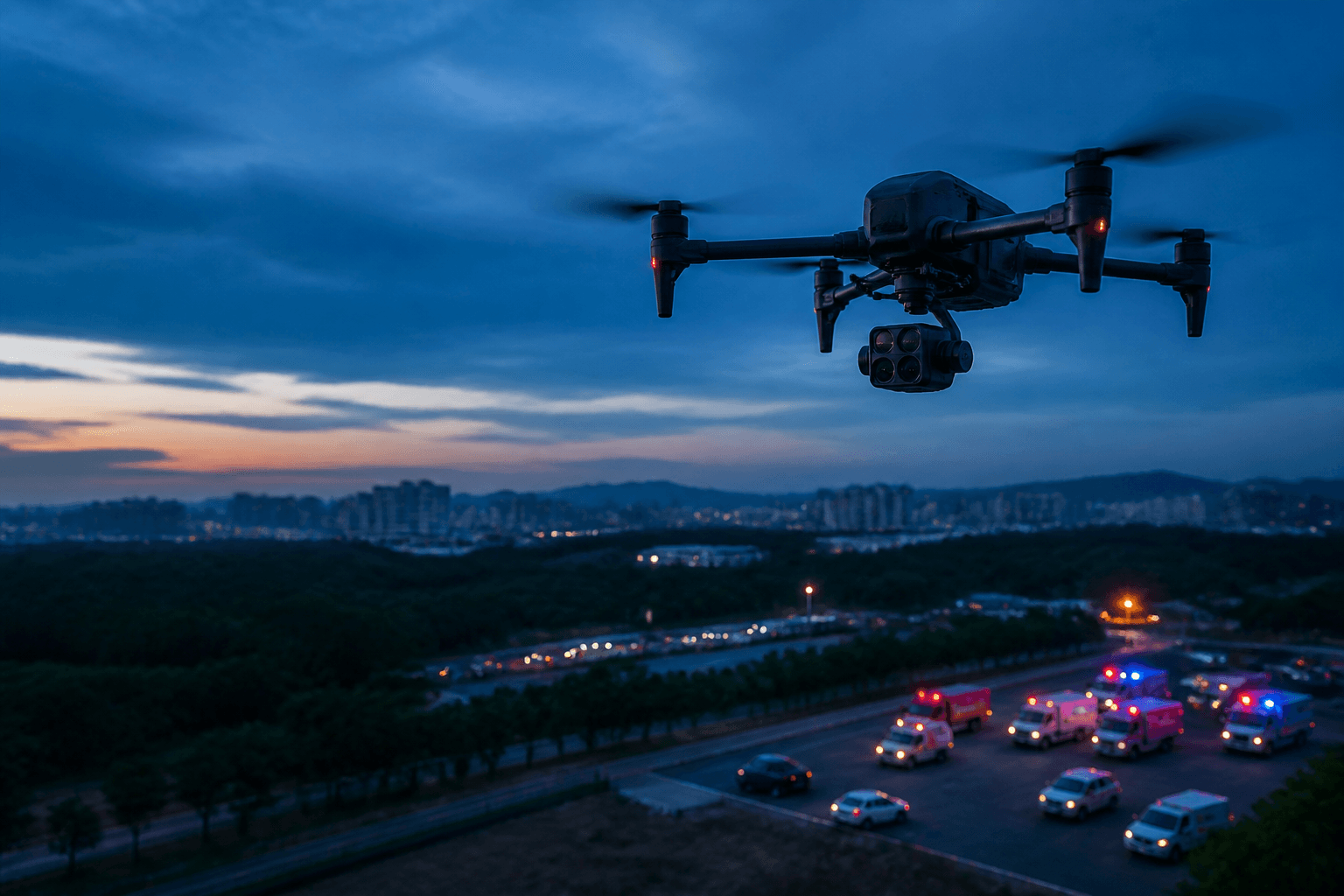
Public Safety
Build situational-awareness, communications, lighting, search, and response configurations for authorised field operations.
50 relevant products →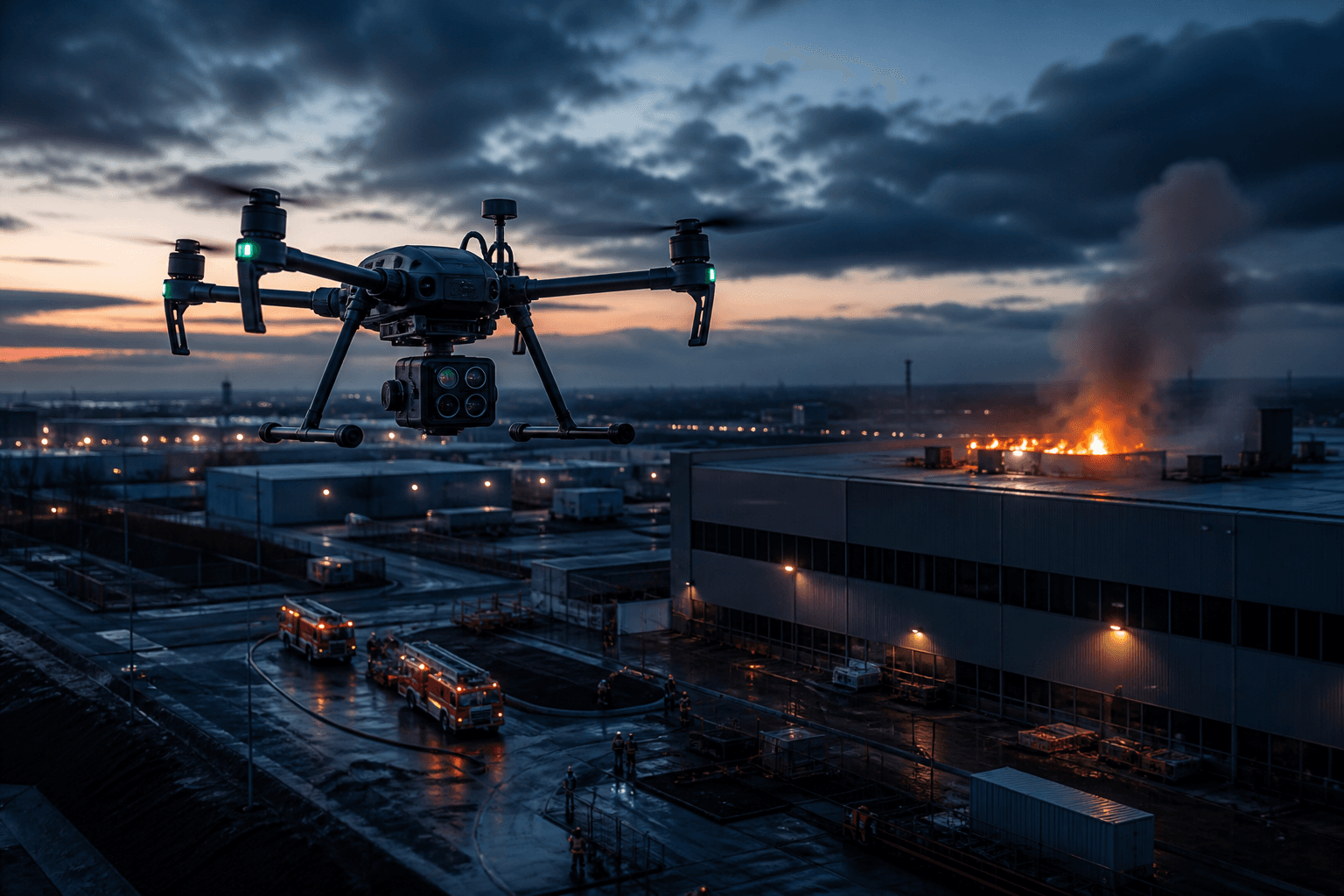
Firefighting
Review thermal awareness, water delivery, suppression, facade response, and field-support equipment as one assessed mission configuration.
10 relevant products →
Delivery and Logistics
Assess cargo aircraft, release and lowering systems, delivery software, routes, payload limits, and destination constraints.
12 relevant products →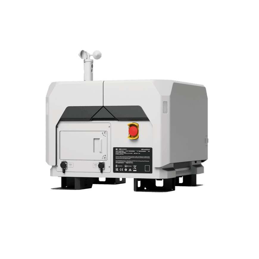
Remote Operations
Plan dock, aircraft, software, connectivity, power, and site-readiness requirements for repeatable remote missions.
10 relevant products →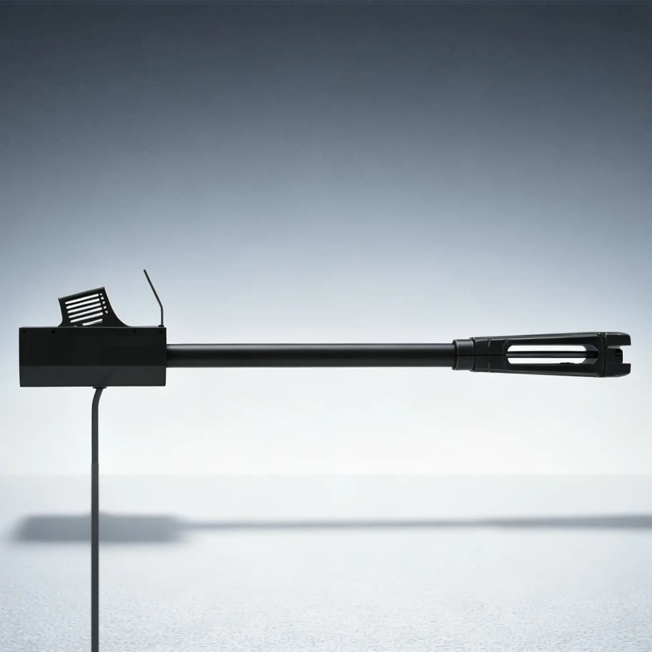
Aerial Cleaning
Configure aircraft, pumps, hoses, water supply, surfaces, and safety controls for assessed facade and solar-maintenance work.
5 relevant products →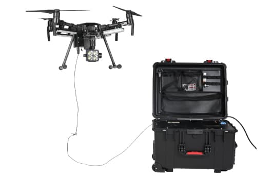
Persistent Monitoring
Combine tethered power and long-term site cameras for extended observation, project documentation, and site visibility.
6 relevant products →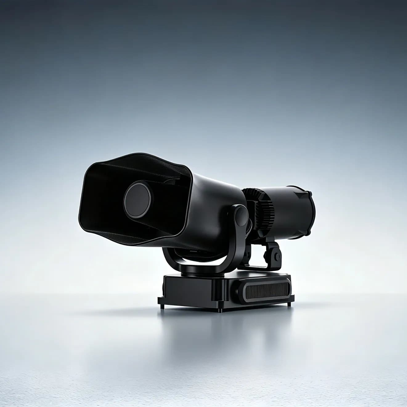
Ground Robotics
Review compatible robot payloads for lighting, communications, situational awareness, and authorised response tasks.
47 relevant products →